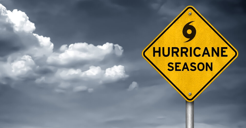
Hurricane Hilary was strengthened to a Category 3 storm this Thursday. It is expected to become category 4 before it can weaken. It is rapidly intensifying in the Pacific Ocean southwest of Mexico and can deliver significant rain and flooding to parts of the Southwest.
The hurricane sustained winds of 120mph on Thursday evening and might reach 130 mh and reach a category 4.
The outcome of Hilary has a wide range. It can bring dangerous rainfall and floods to the coastal areas, while the inland dry places might get some much-needed relief from the rain.
Where and When Will Hurricane Hilary Hit California?
Hilary formed 470 miles off the coast of Manzanillo, Mexico, this Wednesday. It has been observed that it moves from west to northwest towards Baja, California. The storm’s projected path shows that it can make landfall anywhere from Baja California Peninsula to Santa Barbara, California.
It is expected to make landfall on Monday morning near San Diego, likely as a tropical storm. Before its landfall, Hilary is expected to face rapid weakening on the weekends. Due to the storm’s angle, it is difficult to tell the exact location of its hit.
How Will Hurricane Hilary Affect California?
Hilary is expected to rapidly weaken to a storm from a hurricane by the time it reaches California. It is set to impact the southwestern US with heavy rainfall from this weekend through early next week. It will bring up to six inches of rain with isolated higher amounts across Baja California Peninsula. A flood watch was issued for LA and Ventura Counties, as flash flooding can also be expected.
One model even showed the heaviest rain would hit the Palm Springs area. According to David Parkinson, CBS News senior weather and climate producer, the desert terrain around Palm Springs cannot handle the heavy rainfall. If it shifts west, the areas scorched by the recent wildfires would also get inundated.
The storm is also likely to produce landslides and mudslides in areas that the wildfires have scorched.
Will Hurricane Hilary Hit Los Angeles, Arizona, and San Diego?
Hurricane Hilar is expected to bring from 2 to 4 inches of rain in Los Angeles and 4 to 8 inches in San Diego. After approaching the Baja Peninsula, it might bring flooding rains into Southern California, Nevada, and Arizona, which will last till early next week.
University of California’s climate scientist, Daniel Swain, stated that “multiple years’ worth of precipitation” could potentially fall in some of the driest areas of California. One of these places could be Death Valley, the hottest place on Earth that only receives 2 inches of rain across the year. The moisture from Hilary could bring a year’s worth of rain to the valley.
Last year in August, 1.46 inches of rainfall in 24 hours led to around 1000 people being stranded as flash flooding washed away roads.
Supposed Benefits of Hurricane Hilary
Despite the possible dangers of flooding, the rainfall that Hilary will bring can combat the drought and recharge groundwater across the dried portions of the Southwest.
According to the US Drought Monitor, drought conditions have been steady in New Mexico, California, and Arizona as the seasonal monsoons that supply the regions with the biggest percentage of rainfall have been missing. The rainfall and cloud cover across the Southwest can bring a significant cooldown over the weekend.
Temperatures could drop by 20 degrees, and Phoenix might not reach a triple-digit high temperature for the first time since mid-June.
If you live in any of the areas that are likely to be affected by Hurricane Hilary, make sure to stay indoors or find a safe place for shelter. Pay heed to the flash warnings to keep your loved ones safe.

